
Meest populaire keuze – Scherpste prijs!

Amazon· Bekende aanbieder
€ 76,29
OnbekendGratis verzending
Check de website voor de levertijd | Gratis bezorgd > €20,-

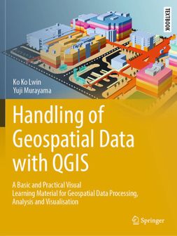
This textbook introduces QGIS software and shows how to use it step-by-step using many illustrations. Some topics can be understood by viewing a figure, without the need to read texts. The purposes, functions, and potential applications of the software are also explained. The book is a good first step to understand the theories on GIS through practice. With the increasing use of GIS (geographic information systems/science) in the arenas of education and research, the need for this book is becoming apparent. Students and researchers in various disciplines have noted that GIS is a powerful tool for acquiring, exploring, analyzing, and visualizing geospatial data for their work. Some of their data come from geospace in the form of coordinates; of course, we are living in a world with coordinates. Wherever we move, whatever we do, we can be located by coordinates, as everything is at rest, moving, or happening in space. Although GIS has been used for a long time in many professional fields, such as land surveying, urban and regional development, transportation planning, hydrology, environmental management, and so on, the use of GIS by the public is fairly recent. Following the emergence of global positioning systems, wireless communication technologies, and nano-scale microchip technologies, GIS is now a commonplace. Together with advanced technologies and user-friendly software development, the use of GIS has moved from desktop to laptop to mobile devices, and from professionals to academics to the public. Moreover, QGIS is increasingly used by students, researchers, and professionals on a daily basis due to its free and open-source geographic information system, community-based software development, user-friendliness, and the many plugins that are available to enhance the capabilities of this software.
Heb jij dit product in bezit en wil je graag je mening geven? Start dan hieronder met het schrijven van je review. Afhankelijk van de details duurt het schrijven van een review gemiddeld tussen de 3 en 10 minuten. Met jouw mening help je andere bezoekers een betere keuze te maken én maak je iedere maand kans op €250,-! Klik hier voor de actievoorwaarden.
